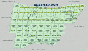
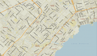
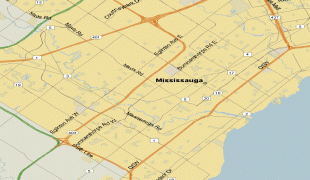
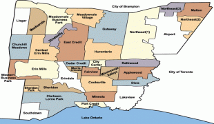
Mississauga
 |
 |
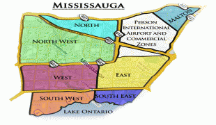
The growth of Mississauga was attributed to its proximity to Toronto. During the latter half of the 20th century, the city attracted a multicultural population and built up a thriving central business district. Malton, a neighbourhood of the city located in its northeast end, is home to Toronto Pearson International Airport, Canada's busiest airport, as well as the headquarters of many Canadian and multinational corporations. Mississauga is not a traditional city, but is instead an amalgamation of three former villages, two townships, and a number of rural hamlets (a general pattern common to several suburban GTA cities) that were significant population centres, with none being clearly dominant, prior to the city's incorporation that later coalesced into a single urban area.
Indigenous people have lived in the area for thousands of years and Mississauga is situated on the traditional territory of the Huron-Wendat, Haudenosaunee and Anishinaabeg people, including the namesake Mississaugas. Most of present-day Mississauga was founded in 1805 as Toronto Township within York County, and became part of Peel County when new counties were formed by splitting off parts of the original county in 1851. Mississauga itself was established in 1968 as a town, and was reincorporated as a city in 1974, when Peel was restructured into a regional municipality.
The name Mississauga comes from the Anishinaabe word Misi-zaagiing, meaning "[Those at the] Great River-mouth".
Other forms such as Sauga and, in reference to the city's residents, Saugans, and Mississaugans, are also commonly used.
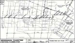
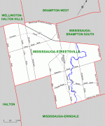
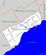
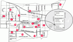
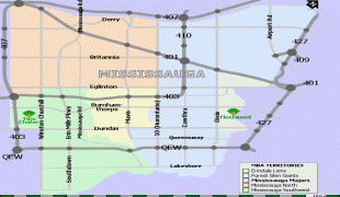
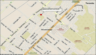
Map - Mississauga
Map


Country - Canada
 |
 |
| Flag of Canada | |
Indigenous peoples have continuously inhabited what is now Canada for thousands of years. Beginning in the 16th century, British and French expeditions explored and later settled along the Atlantic coast. As a consequence of various armed conflicts, France ceded nearly all of its colonies in North America in 1763. In 1867, with the union of three British North American colonies through Confederation, Canada was formed as a federal dominion of four provinces. This began an accretion of provinces and territories and a process of increasing autonomy from the United Kingdom. This widening autonomy was highlighted by the Statute of Westminster 1931 and culminated in the Canada Act 1982, which severed the vestiges of legal dependence on the Parliament of the United Kingdom.
Currency / Language
| ISO | Currency | Symbol | Significant figures |
|---|---|---|---|
| CAD | Canadian dollar | $ | 2 |
| ISO | Language |
|---|---|
| EN | English language |
| FR | French language |
| IU | Inuktitut |